
Le paysage de la mobilité urbaine moderne évolue plus rapidement que jamais, et les conditions de circulation ont un impact considérable sur notre qualité de vie au quotidien. Rien que l'année dernière, les automobilistes d'Amérique du Nord ont perdu en moyenne 38 heures à cause des retards liés aux heures de pointe, et les retards dus à la circulation ont augmenté de 15 % à l'échelle mondiale depuis 2023. Cette aggravation des embouteillages coûte chaque année des milliards de dollars aux villes.
Pour compliquer encore la situation, les professionnels des transports doivent composer avec des schémas de circulation extrêmement imprévisibles. Le passage au télétravail et aux modes de travail hybrides a profondément bouleversé les tendances habituelles observées aux heures de pointe. Parallèlement, les villes assistent à une transformation radicale des modes de déplacement : en 2024, les trajets en micromobilité en Amérique du Nord ont atteint un niveau record, avec une hausse de 31 % par rapport à l’année précédente, environ un tiers de ces trajets remplaçant les déplacements en voiture particulière.
Pour hiérarchiser les priorités et améliorer ce contexte en constante évolution, les professionnels des transports ont besoin de données précises et fiables sur le trafic afin de justifier les investissements dans les infrastructures et de réduire les embouteillages. Cependant, de nombreuses villes continuent de s'appuyer sur des méthodes de collecte obsolètes.
Les écueils de la collecte traditionnelle de données sur le trafic
Les outils traditionnels de collecte de données — tels que les tubes pneumatiques routiers, les comptages manuels et les radars — peinent à répondre aux exigences des environnements urbains modernes.
- Tâche fastidieuse et dangereuse : La mise en place des tubes pneumatiques traditionnels est très exigeante en main-d'œuvre et oblige souvent les techniciens à s'exposer directement à la circulation, ce qui est dangereux. De plus, leur installation doit fréquemment être effectuée pendant la nuit, ce qui n'est pas pratique.
- Précision insuffisante en cas d'embouteillages : Les outils traditionnels ont beaucoup de mal à fonctionner dans les embouteillages avec arrêts et redémarrages fréquents, sur les autoroutes et sur les routes à plusieurs voies. Comme ils tombent souvent en panne aux heures de pointe, les ingénieurs risquent de recevoir des données erronées précisément aux moments où ils en ont le plus besoin pour leurs études.
- Résultats invérifiables : La faille la plus importante des méthodes traditionnelles réside peut-être dans le fait qu’elles ne sont pas vérifiables. Lorsque l’on examine un tableau contenant les chiffres bruts relatifs au nombre de tubes, il n’y a absolument aucun moyen de confirmer ce qui s’est réellement passé sur la chaussée ni d’enquêter sur les anomalies.
Les atouts de la vidéo : clarté, confiance et vérifiabilité
Fondamentalement, l'intérêt des données de trafic issues de la vidéo réside dans la confiance et la clarté qu'elles apportent. La vidéo ne se contente pas de collecter des données ; elle raconte l'histoire globale qui se cache derrière ces données.
Les solutions vidéo permettent aux villes de collecter des données multimodales vérifiables qui suivent les piétons, les vélos, les moyens de micromobilité et les véhicules avec une précision pouvant atteindre 95 %. Leur déploiement est extrêmement simple, non intrusif et bien plus sûr, car les techniciens n’ont pas besoin de se tenir sur la chaussée. Plus important encore, si un point de données semble inhabituel, les ingénieurs peuvent facilement consulter la vidéo pour vérifier les résultats sur le terrain.
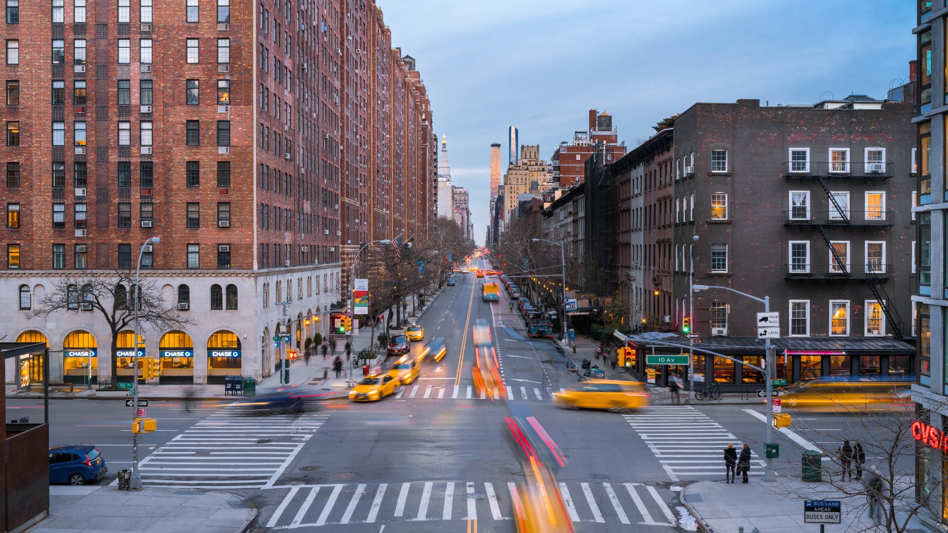
La différence sur le plan opérationnel est flagrante. Une récente étude menée à New York menée sur sept tronçons routiers à fort trafic, les chercheurs ont comparé les comptages par vidéo réalisés à l’aide d’appareils Miovision Scout à ceux effectués par des tubes pneumatiques. Les tubes pneumatiques ont surestimé le nombre de véhicules de 13 % en raison de défaillances matérielles, de véhicules en stationnement et d’embouteillages dus à des files d’attente. De plus, l’installation des tubes a nécessité deux techniciens et 30 minutes par site, tandis que le système de comptage vidéo a été installé en toute sécurité par un seul technicien en seulement 10 minutes.
Impact concret : aller au-delà du tableur
En exploitant des données vidéo précises — capturées à l'aide de matériel haute résolution et haute capacité tel que le Scout Plus—, les villes peuvent optimiser leurs opérations afin de générer des avantages économiques et environnementaux mesurables.
Dans le comté de Burlington, dans le New Jersey, les urbanistes ont eu recours à des études vidéo sur les manœuvres de virage et les temps de trajet pour réajuster la synchronisation des feux tricolores sur un tronçon de 5,5 miles. Cette optimisation ciblée des feux de signalisation a permis de réduire les temps de trajet de 14 %, d'économiser 154 000 gallons de carburant, de réduire les émissions de CO₂ de 3 000 tonnes et de générer près de 400 000 dollars d'économies annuelles pour les usagers.
La vidéo ouvre également la voie à des approches totalement nouvelles pour relever des défis urbains complexes, tels que la gestion des bordures de trottoir. Au lieu de s’appuyer sur des observations manuelles « sur le terrain », qui ne fournissent que des instantanés ponctuels, la surveillance vidéo en continu met en évidence des tendances globales. Les villes peuvent ainsi analyser les pics d’accumulation de livraisons, les regroupements de covoiturage et le stationnement illégal de manière très détaillée, véhicule par véhicule ou place par place, ce qui leur permet de concevoir des infrastructures plus intelligentes pour l’avenir.
Une meilleure planification passe par des données de meilleure qualité. En adoptant l’analyse vidéo vérifiable, les décideurs disposent des preuves visuelles convaincantes et des chiffres multimodaux précis nécessaires pour concevoir en toute confiance les villes de demain.