


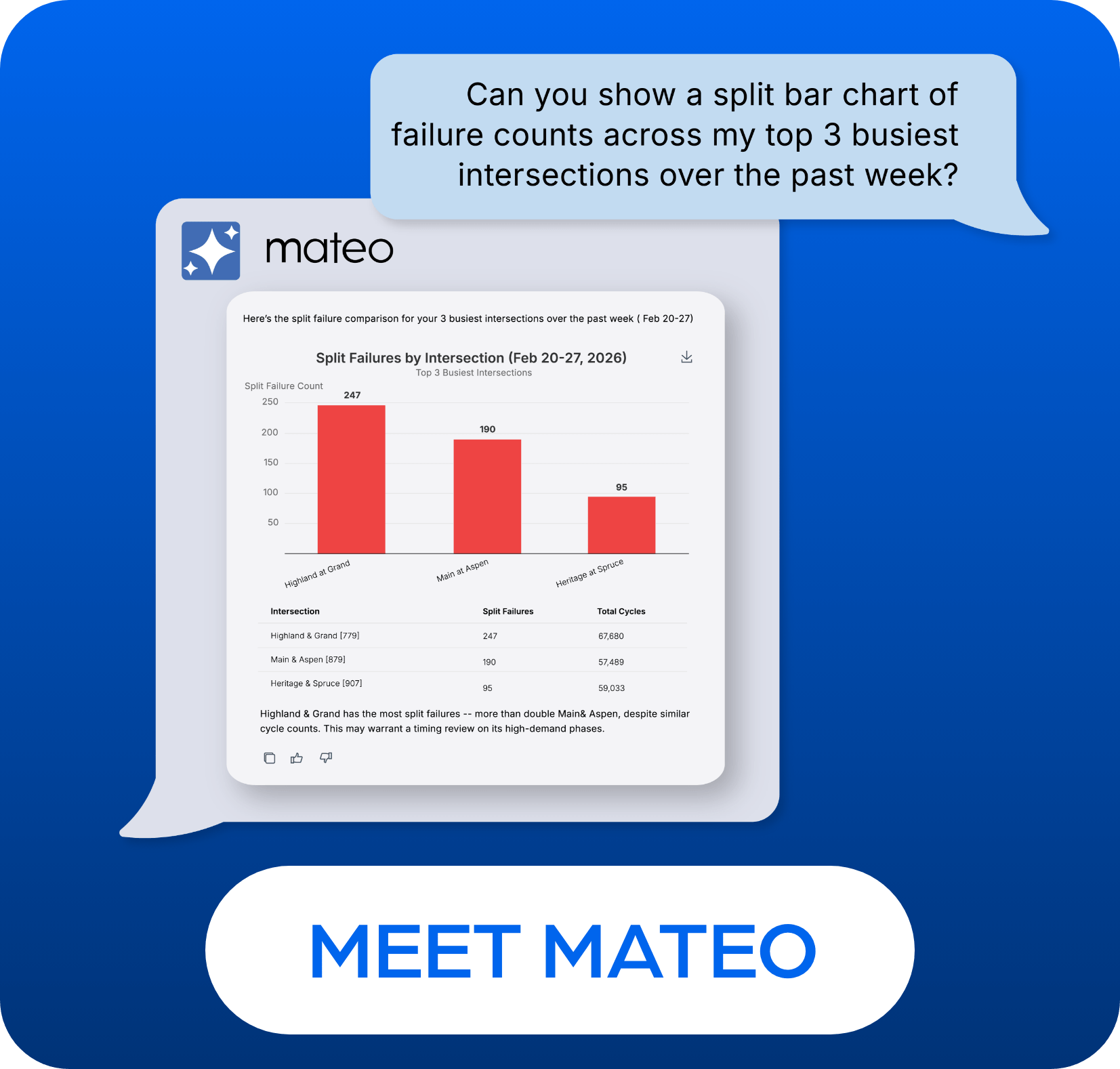

Städte, die das „Vision Zero“-Konzept verfolgen, nutzen seit langem Geodaten- und datenwissenschaftliche Anwendungen, um ihre Unfalldaten aus einer kartenbasierten Perspektive besser zu verstehen. Herkömmliche Ansätze waren bisher durch zwei Faktoren eingeschränkt. Die erste Einschränkung sind Unfalldaten mit geringer Erfassungshäufigkeit, die lediglich einen nachlaufenden Indikator für dynamische und sich wandelnde Probleme der Verkehrssicherheit darstellen. Die zweite Einschränkung ist der Zeitaufwand, den qualifizierte Geodatenanalysten für die Konzeption, Vorbereitung, Durchführung und Auswertung kartenbasierter Abfragen aufwenden müssen.
Wichtige Erkenntnisse
In dieser Sitzung wird erläutert, wie zwei technologische Fortschritte diese Einschränkungen beseitigen und neue Möglichkeiten für die „Vision Zero“-Kartierung eröffnen können:
- KI, die es ermöglicht, mit georäumlichen Daten zur Verkehrssicherheit im Dialog zu interagieren, anstatt Abfragen manuell auszuführen, zu entwerfen und auszuwerten.
- Intelligente Verkehrssysteme, die mittlerweile in sehr hoher Frequenz Daten zu führenden prädiktiven Indikatoren für die Verkehrssicherheit liefern können.
Für wen ist die Serie geeignet?
- Leiter von Verkehrsbetrieben und TSM&O-Verantwortliche: Strategische Führungskräfte, die die Leistung des bestehenden Personals maximieren und die Zuweisung von Haushaltsmitteln durch evidenzbasierte Berichterstattung begründen müssen.
- Verkehrsingenieure und -analysten: Fachleute aus dem technischen Bereich, die „Datenplackerei“ vermeiden und Zeit für proaktive Sicherheitsplanung und Netzoptimierung gewinnen möchten.
- Verkehrssicherheit und Stadtplanung: Akteure, die sich auf „Vision Zero“ und multimodale Ziele konzentrieren und komplexe technische Kennzahlen in einen für die Bevölkerung nachvollziehbaren Mehrwert umsetzen müssen.
Moderatoren:
BRent Rogerson, Leiter des Bereichs Solutions Engineering bei Miovision
Christopher Rider, stellvertretender leitender Verkehrsingenieur, Vision Zero Innovations, LADOT
Dr.Craig Milligan, P.Eng., RSP2I, Verkehrssicherheitsingenieur, Fireseeds North
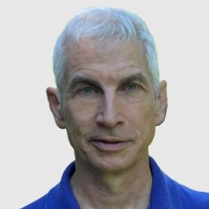
PPeter Croswell, ehemaliger Präsident von URISA und Präsident von Croswell-Schulte Information Technology Consultants