Drastische Veränderungen bei den Mobilitätstrends – vom Verkehrsaufkommen bis hin zu den genutzten Verkehrsmitteln – veranlassen einige Verkehrs- und Planungsteams dazu, Pläne und Programme umzusetzen, die das Konzept der „Complete Streets“ fördern. Während einige Städte bereits langfristige Ziele verfolgen, ihren Bürgern Straßen zu bieten, die alle Verkehrsteilnehmer stärker einbeziehen, hat der jüngste Wandel bei den Mobilitätstrends diese Initiativen beschleunigt.
How road diets improve safety for all road users
The recent pandemic has forced cities to rethink the way they use their existing traffic networks to serve the changing needs of all road users. This has led some communities to consider road diets (lane reductions or road rechannelization), allowing them to reorganize existing roads and infrastructure to create more space for other modes of transportation, like active transportation and micromobility.
Traditionally used to reduce the number of conflict points on the road, road diets are a proven safety countermeasure and also improve mobility and access for all road users. One of the most common road diets takes a four-lane, undivided roadway and reduces it to a three-lane roadway with two through lanes and a third two-way left-turn lane in the center.

Road Diet on Edgewater Dr., Orlando, FL
Source: US Department of Transportation, Federal Highway Administration
When paired with Complete Streets initiatives, road diets can be used to reallocate existing road space to pedestrian and bicycle traffic, providing a low-cost solution for redesigning existing traffic networks without the need for major reconstruction that can be disruptive and time-consuming.
How cities are combining road diets with Complete Streets initiatives
In response to COVID-19, the City of San Diego is shining a light on the safety of all road users through their Slow Streets pilot program. Encouraging physical distancing and active lifestyles, the program aims to give citizens space needed to access essential jobs, essential needs, and be more active.
During the pandemic, some cities have temporarily stopped or limited vehicle access to certain corridors to make room from walking, cycling, and other alternate modes of transportation that enable physical distancing. The need to enable “critical movement” during the pandemic has accelerated these kinds of initiatives that many cities often take years to implement.
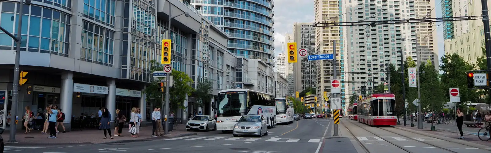
Buffalo, New York, has noticed a biking boom due to the low volume of cars currently occupying streets, which is also expected during the summer season. Cities such as Toronto and Seattle are also taking this opportunity to rethink urban planning and mobility planning to create more space for pedestrians and cyclists.
Similar plans and programs are being implemented around the world in response to the changing mobility trends:
- France announced a 20€ million plan to get more citizens cycling in the city
- Bologna decided to speed up the rollout of its bike network
- London is planning to transform its roads to include safe walking and cycle routes
- Scotland committed £10 million for pop-up cycleways and footpaths
- Milan announced plans to reallocate public space for walking and cycling
Want to learn more about pandemic-related traffic trends? Read our recent blog article about why decreasing traffic volumes are leading to an increase in safety concerns.